Difference between revisions of "File:London topology.png"
| Line 3: | Line 3: | ||
[[Category:Maps 2013]] | [[Category:Maps 2013]] | ||
[[Category:Maps 2014]] | [[Category:Maps 2014]] | ||
| + | [[Category:London files]] | ||
Latest revision as of 01:20, 15 May 2023
Topological map of the London 2014 route, showing all 6 start points. This isn't to scale, i.e. it doesn't match real direction/distance.
File history
Click on a date/time to view the file as it appeared at that time.
| Date/Time | Thumbnail | Dimensions | User | Comment | |
|---|---|---|---|---|---|
| current | 17:08, 13 June 2014 | 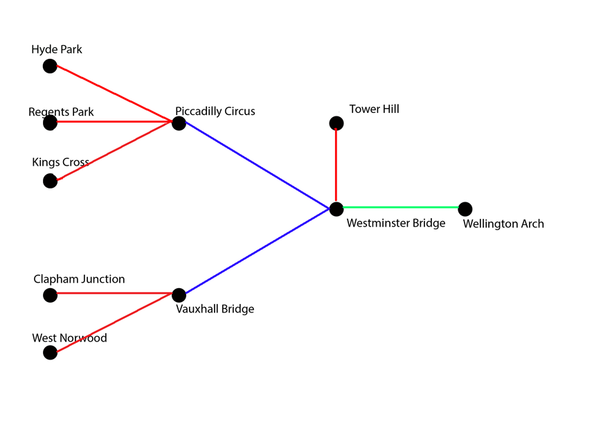 | 868 × 612 (44 KB) | Johnckirk (talk | contribs) | |
| 13:27, 28 April 2013 | 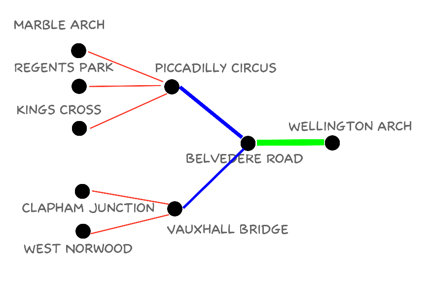 | 874 × 620 (43 KB) | Johnckirk (talk | contribs) | Topological map of the London 2013 route, showing all 5 start points. This isn't to scale, i.e. it doesn't match real direction/distance. |
- You cannot overwrite this file.
File usage
The following 5 pages link to this file: