Difference between revisions of "File:London 2014 routes centre.png"
(Geographical map of the central London 2014 route, showing more detail about the merged section. This doesn't include the full route from each start point.) |
(No difference)
|
Revision as of 17:14, 13 June 2014
Geographical map of the central London 2014 route, showing more detail about the merged section. This doesn't include the full route from each start point.
File history
Click on a date/time to view the file as it appeared at that time.
| Date/Time | Thumbnail | Dimensions | User | Comment | |
|---|---|---|---|---|---|
| current | 17:14, 13 June 2014 | 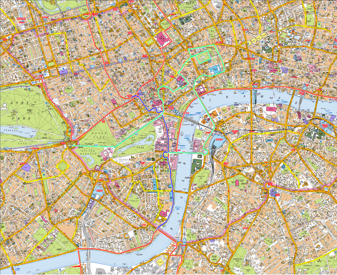 | 1,072 × 877 (745 KB) | Johnckirk (talk | contribs) | Geographical map of the central London 2014 route, showing more detail about the merged section. This doesn't include the full route from each start point. |
- You cannot overwrite this file.
File usage
There are no pages that link to this file.