File:2013 Route with Google mapping Tool - Central area.jpg
No higher resolution available.
2013_Route_with_Google_mapping_Tool_-_Central_area.jpg (701 × 599 pixels, file size: 95 KB, MIME type: image/jpeg)
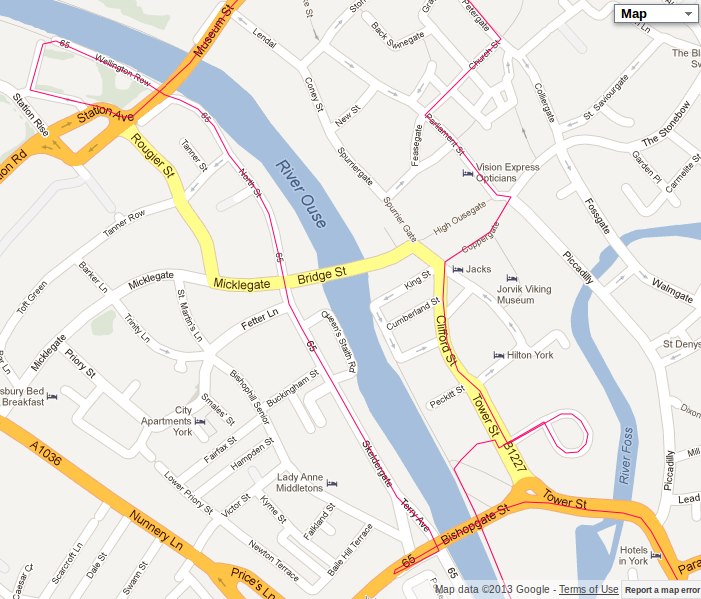
Central part of the York route for 2013
File history
Click on a date/time to view the file as it appeared at that time.
| Date/Time | Thumbnail | Dimensions | User | Comment | |
|---|---|---|---|---|---|
| current | 23:29, 15 May 2013 | | 701 × 599 (95 KB) | Toniminou (talk | contribs) | Central part of the York route for 2013 |
- You cannot overwrite this file.
File usage
There are no pages that link to this file.